|
SHEIS and the Land Development & Control Plan |
6/3/08 |
 The Legal, Lands and Planning Department of the St.Helena Government have
been making use of a computer system for some time now, called SHEIS, the
St.Helena Environmental Information System, which is a general purpose GIS
(Geographic Information System) with layered information kept in a database.
The system was written specifically for St.Helena by students at the Vanderbilt
University in Nashville.
The Legal, Lands and Planning Department of the St.Helena Government have
been making use of a computer system for some time now, called SHEIS, the
St.Helena Environmental Information System, which is a general purpose GIS
(Geographic Information System) with layered information kept in a database.
The system was written specifically for St.Helena by students at the Vanderbilt
University in Nashville.
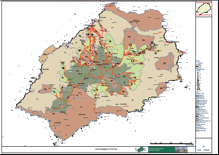
This system now allows SHG to plot out various aspects of planning and managing land (among many other things), and is therefore ideally suited to presenting the plethora of information contained in the Land Development and Control Plan (LDCP).
You can get the LDCP document in its entirety from the St.Helena Government website under the LLPD page (see here), or you can look at one of the high-res detailed maps (in PDF format) that the SHEIS system has produced by clicking here.
![]() If you can't display PDF files, you will need the free Adobe Reader program
and plug-in, which you can get here
If you can't display PDF files, you will need the free Adobe Reader program
and plug-in, which you can get here